 vesseltracker.com
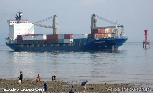
Vessel GLUON IMO: 9124677, MMSI: 341339000 Container Ship
Live AIS position:
UTC. Near Mithivirdi),
updated 2025-04-24 08:00:00 UTC.
Find the position of the vessel GLUON on the map. The latter are known coordinates and path.
marine traffic ship tracker show on live map
The current position of vessel GLUON is 21.40361 lat / 72.19297 lng. Updated: 2025-04-24 08:00:00 UTCCurrently sailing under the flag of St.Kitts and Nevis
GLUON built in 1995 year
Deadweight:
7196 tDetails:
Last coordinates of the vessel:
2025-04-24 08:00:00 UTC, 21.40361, 72.19297, course: -1, speed: 0