 vesseltracker.com
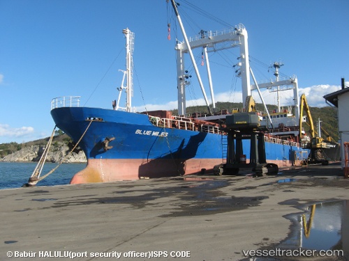
Vessel GRACE A IMO: 8403337, MMSI: 613003614 General Cargo Ship
UTC, 38.61988, -9.81744, course: 15, speed: 11.2
UTC, 38.93590, -9.77721, course: 20, speed: 11
2026-02-05 23:23:40 UTC, 39.10341, -9.91235, course: 309, speed: 8.1
Live AIS position:
UTC. 24 nm W of Ericeira),
updated 2026-02-05 23:23:40 UTC.
Find the position of the vessel GRACE A on the map. The latter are known coordinates and path.
marine traffic ship tracker show on live map
The current position of vessel GRACE A is 39.10341 lat / -9.91235 lng. Updated: 2026-02-05 23:23:40 UTCCurrently sailing under the flag of Cameroon
GRACE A built in 1984 year
Deadweight:
4755 tDetails:
Last coordinates of the vessel:
UTC, 38.44575, -9.79026, course: 311, speed: 7UTC, 38.61988, -9.81744, course: 15, speed: 11.2
UTC, 38.93590, -9.77721, course: 20, speed: 11
2026-02-05 23:23:40 UTC, 39.10341, -9.91235, course: 309, speed: 8.1