 vesseltracker.com
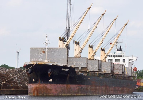
Vessel GRACEFUL GERTRUDE IMO: 9370408, MMSI: 538009620 General Cargo Ship
UTC, 33.70882, -54.01065, course: 341, speed: 0.3
2026-02-05 22:29:21 UTC, 33.70882, -54.01065, course: 341, speed: 0.3
Live AIS position:
UTC. 241 nm SW of Benahavis),
updated 2026-02-05 22:29:21 UTC.
Find the position of the vessel GRACEFUL GERTRUDE on the map. The latter are known coordinates and path.
marine traffic ship tracker show on live map
The current position of vessel GRACEFUL GERTRUDE is 33.70882 lat / -54.01065 lng. Updated: 2026-02-05 22:29:21 UTCCurrently sailing under the flag of Marshall Islands
GRACEFUL GERTRUDE built in 2008 year
Deadweight:
33225 tDetails:
Last coordinates of the vessel:
UTC, 33.70882, -54.01065, course: 341, speed: 0.3UTC, 33.70882, -54.01065, course: 341, speed: 0.3
2026-02-05 22:29:21 UTC, 33.70882, -54.01065, course: 341, speed: 0.3