 vesseltracker.com
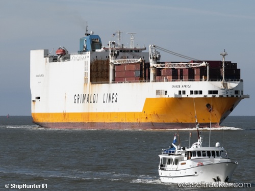
Vessel 'GRANDE AFRICA' IMO: 9130949, MMSI: 215751000
UTC, 51.4048, 2.60256, course: 188, speed: 0.7
UTC, 51.3652, 2.88983, course: 85, speed: 14.9
2026-02-07 19:32:25 UTC, 51.4087, 3.39771, course: 85, speed: 8.7
Live AIS position:
UTC. Near Cadzand),
updated 2026-02-07 19:32:25 UTC.
Find the position of the vessel 'GRANDE AFRICA' on the map. The latter are known coordinates and path.
marine traffic ship tracker show on live map
The current position of vessel 'GRANDE AFRICA' is 51.4087 lat / 3.39771 lng. Updated: 2026-02-07 19:32:25 UTCDetails:
Last coordinates of the vessel:
UTC, 51.403, 2.59976, course: 201, speed: 0UTC, 51.4048, 2.60256, course: 188, speed: 0.7
UTC, 51.3652, 2.88983, course: 85, speed: 14.9
2026-02-07 19:32:25 UTC, 51.4087, 3.39771, course: 85, speed: 8.7