 vesseltracker.com
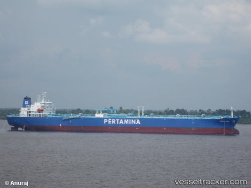
Vessel Gamalama IMO: 9524920, MMSI: 525008070 Crude Oil Tanker
UTC, 1.70167, 101.49667, course: -1, speed: 0
UTC, 1.70120, 101.50131, course: 274, speed: 0
2026-02-01 12:00:13 UTC, 1.70098, 101.50123, course: 298, speed: 0
Live AIS position:
UTC. Near Dumai),
updated 2026-02-01 12:00:13 UTC.
Find the position of the vessel Gamalama on the map. The latter are known coordinates and path.
marine traffic ship tracker show on live map
The current position of vessel Gamalama is 1.70098 lat / 101.50123 lng. Updated: 2026-02-01 12:00:13 UTCDetails:
Last coordinates of the vessel:
UTC, 1.70260, 101.49725, course: 110, speed: 0UTC, 1.70167, 101.49667, course: -1, speed: 0
UTC, 1.70120, 101.50131, course: 274, speed: 0
2026-02-01 12:00:13 UTC, 1.70098, 101.50123, course: 298, speed: 0