 vesseltracker.com
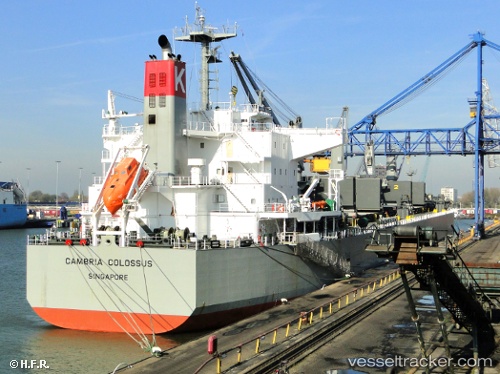
Vessel Ganga K IMO: 9482110, MMSI: 419001227 Bulk Carrier
UTC, 0.50798, 117.69790, course: 236, speed: 0
UTC, 0.50830, 117.69768, course: 230, speed: 0
2026-01-30 01:47:08 UTC, 0.50828, 117.69725, course: 216, speed: 0
Live AIS position:
UTC. Near TANJUNG BARA),
updated 2026-01-30 01:47:08 UTC.
Find the position of the vessel Ganga K on the map. The latter are known coordinates and path.
marine traffic ship tracker show on live map
The current position of vessel Ganga K is 0.50828 lat / 117.69725 lng. Updated: 2026-01-30 01:47:08 UTCCurrently sailing under the flag of India
Ganga K built in 2011 year
Deadweight:
58849 tDetails:
Last coordinates of the vessel:
UTC, 0.50822, 117.69785, course: 233, speed: 0.1UTC, 0.50798, 117.69790, course: 236, speed: 0
UTC, 0.50830, 117.69768, course: 230, speed: 0
2026-01-30 01:47:08 UTC, 0.50828, 117.69725, course: 216, speed: 0