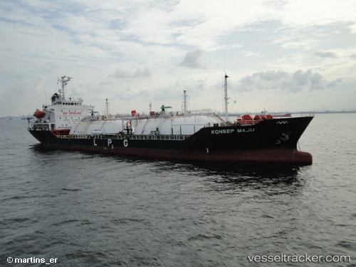
vessel Gas Artemis IMO: 9125994, Lpg Tanker
vesseltracker.com
Vessel Gas Artemis IMO: 9125994, Lpg Tanker
MMSI: 525018326 callsign: JZXN size: 20x105

Find the position of the vessel Gas Artemis on the map. The latter are known coordinates and path.

marine traffic ship tracker show on live map

The current position of vessel Gas Artemis is -8.51489 lat / 115.512 lng. Updated: 2024-04-25 10:28:33 UTC
Details:


Last coordinates of the vessel:
UTC, -8.51489, 115.512, course: -1, speed: 0.1
2024-04-25 10:28:33 UTC, -8.51489, 115.512, course: -1, speed: 0.1

Track of the vessel in the last 14 days


Most frequent ports a vessels calls at Gas Artemis (525018326):

Selat Sunda, traffic: 14
Semarang, traffic: 1

Link to the map:


Find another ship

Gas_Artemis (525018326) last ports (portcalls and passsages)

Semarang | 2023-03-20 05:58:20
Selat Sunda | 2023-02-10 11:25:48
Selat Sunda | 2023-02-05 23:46:32
Selat Sunda | 2022-12-21 17:46:41
Selat Sunda | 2022-11-30 02:28:40
Selat Sunda | 2022-11-06 14:42:31
Selat Sunda | 2022-07-30 07:28:32
Selat Sunda | 2022-07-25 07:23:26
Selat Sunda | 2022-07-18 14:07:00
Selat Sunda | 2022-07-14 04:06:41
Selat Sunda | 2022-06-01 04:12:38
Selat Sunda | 2022-05-27 04:13:33
Selat Sunda | 2022-05-07 07:36:11
Selat Sunda | 2021-12-08 18:04:50