 vesseltracker.com
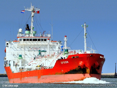
Vessel Gas Eastern IMO: 9191785, MMSI: 574003810 Lpg Tanker
UTC, 15.20672, 119.43503, course: 141, speed: 10.8
UTC, 14.99093, 119.61940, course: 146, speed: 11.1
2026-01-29 11:54:35 UTC, 14.68532, 119.87589, course: 135, speed: 9.4
Live AIS position:
UTC. 19 nm W of Subic Bay),
updated 2026-01-29 11:54:35 UTC.
Find the position of the vessel Gas Eastern on the map. The latter are known coordinates and path.
marine traffic ship tracker show on live map
The current position of vessel Gas Eastern is 14.68532 lat / 119.87589 lng. Updated: 2026-01-29 11:54:35 UTCDetails:
Last coordinates of the vessel:
UTC, 15.51954, 119.16872, course: 143, speed: 10.8UTC, 15.20672, 119.43503, course: 141, speed: 10.8
UTC, 14.99093, 119.61940, course: 146, speed: 11.1
2026-01-29 11:54:35 UTC, 14.68532, 119.87589, course: 135, speed: 9.4