 vesseltracker.com
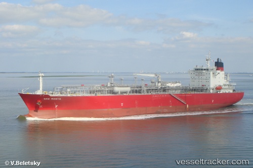
Vessel Gas Manta IMO: 9447809, MMSI: 538004120 Lpg Tanker
Live AIS position:
UTC. 83 nm NW of Nouadhibou),
updated 2025-11-14 22:38:58 UTC.
Find the position of the vessel Gas Manta on the map. The latter are known coordinates and path.
marine traffic ship tracker show on live map
The current position of vessel Gas Manta is 21.73820 lat / -18.15978 lng. Updated: 2025-11-14 22:38:58 UTCCurrently sailing under the flag of Marshall Is
Gas Manta built in 2011 year
Deadweight:
26416 tDetails:
Last coordinates of the vessel:
2025-11-14 22:38:58 UTC, 21.73820, -18.15978, course: 25, speed: 7.6