 vesseltracker.com
Find the position of the vessel ROSE GAS on the map. The latter are known coordinates and path.
marine traffic ship tracker show on live map
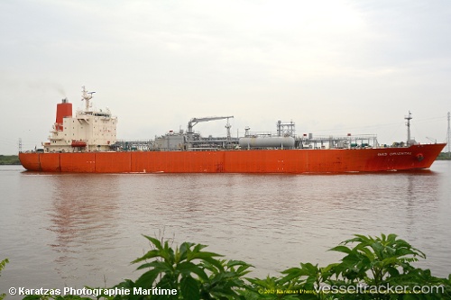
The current position of vessel ROSE GAS is 23.0272 lat / 70.2231 lng. Updated: 2025-05-15 16:19:41 UTCCurrently sailing under the flag of India
ROSE GAS built in 2003 year
Deadweight:
26534 tPayload_mass:
26534 tonneGross tonnage:
22943Service entry:
2003-01-01T00:00:00ZManufacturer:
Hyundai Mipo Dockyard (South Korean shipbuilding company)Details:
Last coordinates of the vessel:
UTC, 23.0273, 70.223, course: 183, speed: 0UTC, 23.0273, 70.2231, course: 183, speed: 0.1
UTC, 23.0273, 70.2231, course: 183, speed: 0.1
2025-05-15 16:19:41 UTC, 23.0272, 70.2231, course: 183, speed: 0