 vesseltracker.com
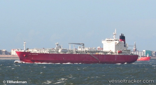
Vessel Gas Snapper IMO: 9447794, MMSI: 538003911 Lpg Tanker
Live AIS position:
UTC. 102 nm SE of Port Saint John's),
updated 2025-09-10 01:40:56 UTC.
Find the position of the vessel Gas Snapper on the map. The latter are known coordinates and path.
marine traffic ship tracker show on live map
The current position of vessel Gas Snapper is -33.03910 lat / 30.67420 lng. Updated: 2025-09-10 01:40:56 UTCCurrently sailing under the flag of Marshall Is
Gas Snapper built in 2009 year
Deadweight:
26416 tDetails:
Last coordinates of the vessel:
2025-09-10 01:40:56 UTC, -33.03910, 30.67420, course: 48, speed: 7.9