 vesseltracker.com
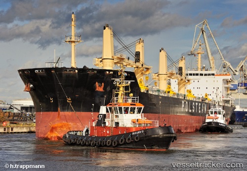
Vessel Gdynia IMO: 9594248, MMSI: 311055200 Bulk Carrier
UTC, 31.45755, 31.76734, course: 137, speed: 0
UTC, 31.58915, 31.78302, course: 9, speed: 10.6
2026-01-29 19:37:12 UTC, 31.77226, 31.66761, course: 296, speed: 10.4
Live AIS position:
UTC. Near Bnei Darom),
updated 2026-01-29 19:37:12 UTC.
Find the position of the vessel Gdynia on the map. The latter are known coordinates and path.
marine traffic ship tracker show on live map
The current position of vessel Gdynia is 31.77226 lat / 31.66761 lng. Updated: 2026-01-29 19:37:12 UTCCurrently sailing under the flag of Bahamas
Gdynia built in 2012 year
Deadweight:
37933 tDetails:
Last coordinates of the vessel:
UTC, 31.45755, 31.76737, course: 137, speed: 0UTC, 31.45755, 31.76734, course: 137, speed: 0
UTC, 31.58915, 31.78302, course: 9, speed: 10.6
2026-01-29 19:37:12 UTC, 31.77226, 31.66761, course: 296, speed: 10.4