 vesseltracker.com
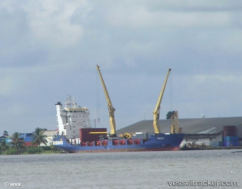
Vessel General Natividad IMO: 9208681, MMSI: 548067500 Multi Purpose Carrier
UTC, 11.71500, 123.25167, course: -1, speed: 9
UTC, 11.43500, 123.38333, course: -1, speed: 9
2026-01-31 05:36:12 UTC, 11.22667, 123.27833, course: -1, speed: 9
Live AIS position:
UTC. 15 nm E of Ajuy),
updated 2026-01-31 05:36:12 UTC.
Find the position of the vessel General Natividad on the map. The latter are known coordinates and path.
marine traffic ship tracker show on live map
The current position of vessel General Natividad is 11.22667 lat / 123.27833 lng. Updated: 2026-01-31 05:36:12 UTCDetails:
Last coordinates of the vessel:
UTC, 11.81500, 123.05833, course: -1, speed: 8UTC, 11.71500, 123.25167, course: -1, speed: 9
UTC, 11.43500, 123.38333, course: -1, speed: 9
2026-01-31 05:36:12 UTC, 11.22667, 123.27833, course: -1, speed: 9