 vesseltracker.com
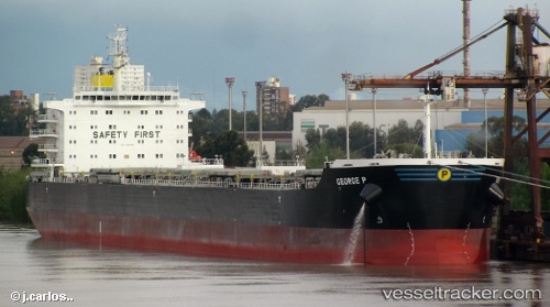
Find the position of the vessel George P on the map. The latter are known coordinates and path.
marine traffic ship tracker show on live map
The current position of vessel George P is 26.305833333333 lat / -88.036833333333 lng. Updated: 2025-10-30 10:58:19 UTCCurrently sailing under the flag of Marshall Is
George P built in 2012 year
Deadweight:
81569 tDetails:
Last coordinates of the vessel:
UTC, 26.1605, -87.969333333333, course: 333, speed: 7.5UTC, 26.1605, -87.969333333333, course: 333, speed: 7.5
UTC, 26.1605, -87.969333333333, course: 333, speed: 7.5
2025-10-30 10:58:19 UTC, 26.305833333333, -88.036833333333, course: 326, speed: 7.6