 vesseltracker.com
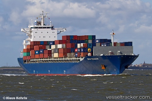
Vessel Gh Chinook IMO: 9423035, MMSI: 538007641 Container Ship
UTC, -83.86649, -75.27424, course: 191, speed: 0
UTC, -83.86649, -75.27424, course: 191, speed: 0
2026-02-03 19:43:00 UTC, -83.86649, -75.27424, course: 191, speed: 0
Live AIS position:
UTC. Open sea, approx. 508 nm off the nearest listed port),
updated 2026-02-03 19:43:00 UTC.
Find the position of the vessel Gh Chinook on the map. The latter are known coordinates and path.
marine traffic ship tracker show on live map
The current position of vessel Gh Chinook is -83.86649 lat / -75.27424 lng. Updated: 2026-02-03 19:43:00 UTCDetails:
Last coordinates of the vessel:
UTC, -83.86649, -75.27424, course: 191, speed: 0UTC, -83.86649, -75.27424, course: 191, speed: 0
UTC, -83.86649, -75.27424, course: 191, speed: 0
2026-02-03 19:43:00 UTC, -83.86649, -75.27424, course: 191, speed: 0