 vesseltracker.com
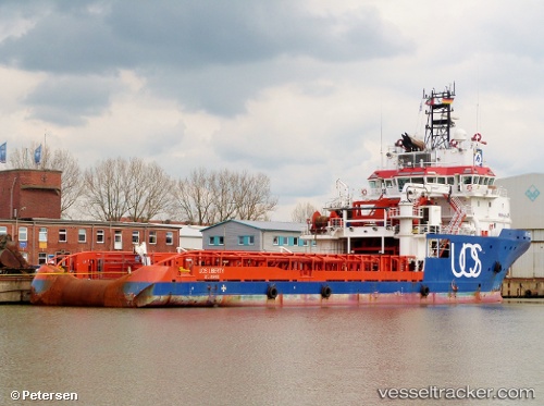
Vessel Gh Liberty IMO: 9439931, MMSI: 305592000 Offshore Tug Supply Ship
UTC, 10.68075, -61.64394, course: 272, speed: 0
UTC, 10.68075, -61.64394, course: 271, speed: 0
2026-02-09 19:58:19 UTC, 10.64775, -61.65579, course: 30, speed: 0
Live AIS position:
UTC. Near CARENAGE),
updated 2026-02-09 19:58:19 UTC.
Find the position of the vessel Gh Liberty on the map. The latter are known coordinates and path.
marine traffic ship tracker show on live map
The current position of vessel Gh Liberty is 10.64775 lat / -61.65579 lng. Updated: 2026-02-09 19:58:19 UTCDetails:
Last coordinates of the vessel:
UTC, 10.68076, -61.64391, course: 272, speed: 0UTC, 10.68075, -61.64394, course: 272, speed: 0
UTC, 10.68075, -61.64394, course: 271, speed: 0
2026-02-09 19:58:19 UTC, 10.64775, -61.65579, course: 30, speed: 0