 vesseltracker.com
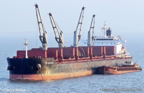
Vessel Gillingham IMO: 9490741, MMSI: 538003541 Bulk Carrier
Live AIS position:
UTC. 234 nm NW of Grytviken),
updated 2025-10-11 15:44:20 UTC.
Find the position of the vessel Gillingham on the map. The latter are known coordinates and path.
marine traffic ship tracker show on live map
The current position of vessel Gillingham is -51.55089 lat / -41.13811 lng. Updated: 2025-10-11 15:44:20 UTCDetails:
Last coordinates of the vessel:
2025-10-11 15:44:20 UTC, -51.55089, -41.13811, course: 148, speed: 79.5