vessel TIMAS 1201 IMO: 9513579, Pipe-Layer vesseltracker.com
Vessel TIMAS 1201 IMO: 9513579, Pipe-Layer
MMSI: 525500783 callsign: YCXE2 size: x

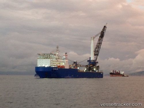
Find the position of the vessel TIMAS 1201 on the map. The latter are known coordinates and path.

marine traffic ship tracker show on live map

The current position of vessel TIMAS 1201 is 4.99833 lat / 105.248 lng. Updated: 2024-05-01 19:23:09 UTC

Currently sailing under the flag of Indonesia

TIMAS 1201 built in 2011 year

Port of registry:
Nassau (capital city of the Commonwealth of the Bahamas)
Deadweight:
9086 t

Payload_mass:
9086 tonne
Gross tonnage:
32879
Service entry:
2011-01-01T00:00:00Z
Details:


Last coordinates of the vessel:
UTC, 4.99833, 105.248, course: -1, speed: 0
2024-05-01 19:23:09 UTC, 4.99833, 105.248, course: -1, speed: 0

Track of the vessel in the last 14 days


Most frequent ports a vessels calls at TIMAS 1201 (525500783):

Tandjung Uban, traffic: 12
Singapore, traffic: 2
Sambu, traffic: 1

Link to the map:


Find another ship

TIMAS_1201 (525500783) last ports (portcalls and passsages)

Tandjung Uban | 2022-10-15 22:40:08
Tandjung Uban | 2022-10-11 19:53:27
Tandjung Uban | 2022-10-07 19:32:25
Tandjung Uban | 2022-08-26 10:15:38
Tandjung Uban | 2022-08-22 08:03:31
Tandjung Uban | 2022-05-22 04:28:31
Tandjung Uban | 2022-05-18 04:16:34
Tandjung Uban | 2022-05-14 02:00:53
Tandjung Uban | 2022-05-10 01:57:27
Tandjung Uban | 2022-05-06 01:43:28
Singapore | 2022-05-05 10:44:32
Singapore | 2022-02-14 03:56:42
Tandjung Uban | 2021-12-13 06:37:58