 vesseltracker.com
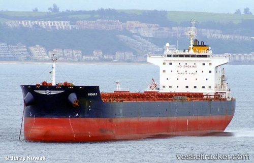
Vessel Globe Danae IMO: 9483499, MMSI: 538003821 Bulk Carrier
UTC, 42.08570, -44.26265, course: 72, speed: 11.3
UTC, 42.14892, -43.96127, course: 68, speed: 11.4
2026-02-01 01:38:17 UTC, 42.30607, -43.50857, course: 69, speed: 10.9
Live AIS position:
UTC. 42 nm NE of Corcos),
updated 2026-02-01 01:38:17 UTC.
Find the position of the vessel Globe Danae on the map. The latter are known coordinates and path.
marine traffic ship tracker show on live map
The current position of vessel Globe Danae is 42.30607 lat / -43.50857 lng. Updated: 2026-02-01 01:38:17 UTCDetails:
Last coordinates of the vessel:
UTC, 42.01355, -44.78372, course: 70, speed: 11UTC, 42.08570, -44.26265, course: 72, speed: 11.3
UTC, 42.14892, -43.96127, course: 68, speed: 11.4
2026-02-01 01:38:17 UTC, 42.30607, -43.50857, course: 69, speed: 10.9