 vesseltracker.com
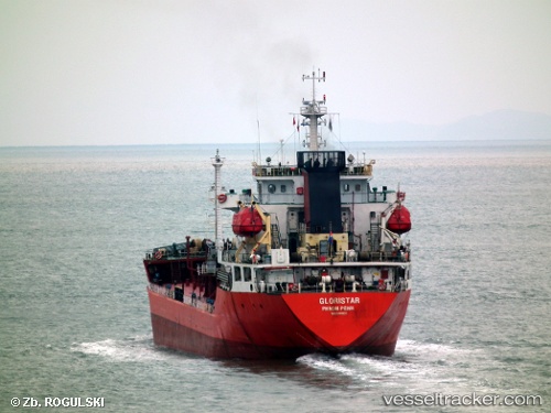
Vessel Gloristar IMO: 9449651, MMSI: 667001594 Oil Products Tanker
Live AIS position:
UTC. Unknown location),
updated UTC.
Find the position of the vessel Gloristar on the map. The latter are known coordinates and path.
marine traffic ship tracker show on live map
Details: