 vesseltracker.com
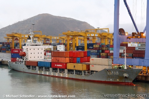
Vessel Glory Star IMO: 9105657, MMSI: 511543000 Container Ship
Live AIS position:
UTC. Unknown location),
updated UTC.
Find the position of the vessel Glory Star on the map. The latter are known coordinates and path.
marine traffic ship tracker show on live map
Currently sailing under the flag of Palau
Glory Star built in 1994 year
Deadweight:
5981 tDetails: