 vesseltracker.com
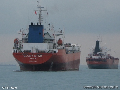
Vessel Glory Star IMO: 9463528, MMSI: 574251000 Oil Products Tanker
Live AIS position:
UTC. Unknown location),
updated UTC.
Find the position of the vessel Glory Star on the map. The latter are known coordinates and path.
marine traffic ship tracker show on live map
Currently sailing under the flag of Vietnam
Glory Star built in 2007 year
Deadweight:
16820 tDetails: