 vesseltracker.com
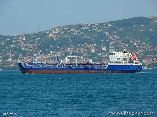
Vessel Gloster 1 IMO: 9640463, MMSI: 518865000 Oil Products Tanker
Live AIS position:
UTC. Unknown location),
updated UTC.
Find the position of the vessel Gloster 1 on the map. The latter are known coordinates and path.
marine traffic ship tracker show on live map
Currently sailing under the flag of Cook Is
Details: