 vesseltracker.com
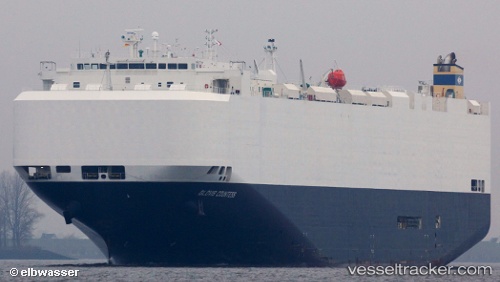
Vessel Glovis Countess IMO: 9476721, MMSI: 538003831 Vehicles Carrier
Live AIS position:
UTC. Unknown location),
updated UTC.
Find the position of the vessel Glovis Countess on the map. The latter are known coordinates and path.
marine traffic ship tracker show on live map
Currently sailing under the flag of Marshall Islands
Glovis Countess built in 2010 year
Deadweight:
18701 tDetails: