 vesseltracker.com
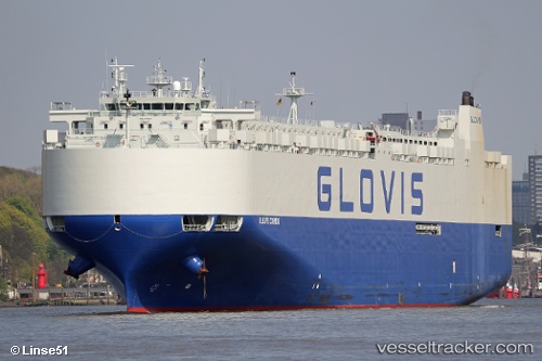
Vessel Glovis Cosmos IMO: 9707027, MMSI: 538006227 Vehicles Carrier
Live AIS position:
UTC. Unknown location),
updated UTC.
Find the position of the vessel Glovis Cosmos on the map. The latter are known coordinates and path.
marine traffic ship tracker show on live map
Details: