 vesseltracker.com
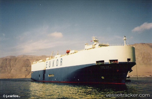
Vessel Glovis Prime IMO: 9114177, MMSI: 440062000 Vehicles Carrier
UTC, 36.50660, -7.72212, course: 294, speed: 8.9
UTC, 36.56068, -7.84837, course: 203, speed: 2.4
2026-01-23 23:25:07 UTC, 36.57505, -7.76243, course: 186, speed: 2.4
Live AIS position:
UTC. 28 nm S of Olhão),
updated 2026-01-23 23:25:07 UTC.
Find the position of the vessel Glovis Prime on the map. The latter are known coordinates and path.
marine traffic ship tracker show on live map
The current position of vessel Glovis Prime is 36.57505 lat / -7.76243 lng. Updated: 2026-01-23 23:25:07 UTCDetails:
Last coordinates of the vessel:
UTC, 36.23903, -6.85237, course: 349, speed: 2.3UTC, 36.50660, -7.72212, course: 294, speed: 8.9
UTC, 36.56068, -7.84837, course: 203, speed: 2.4
2026-01-23 23:25:07 UTC, 36.57505, -7.76243, course: 186, speed: 2.4