 vesseltracker.com
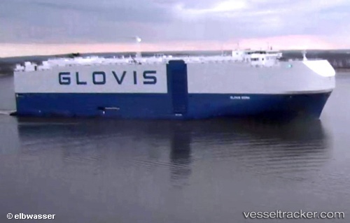
Vessel Glovis Sigma IMO: 9736810, MMSI: 311000458 Vehicles Carrier
UTC, 29.95167, 136.37666, course: -1, speed: 16
UTC, 30.12254, 135.49960, course: 287, speed: 16.4
2026-01-23 23:28:52 UTC, 30.26984, 134.83138, course: 283, speed: 17.2
Live AIS position:
UTC. 191 nm SE of Saga),
updated 2026-01-23 23:28:52 UTC.
Find the position of the vessel Glovis Sigma on the map. The latter are known coordinates and path.
marine traffic ship tracker show on live map
The current position of vessel Glovis Sigma is 30.26984 lat / 134.83138 lng. Updated: 2026-01-23 23:28:52 UTCCurrently sailing under the flag of Bahamas
Details:
Last coordinates of the vessel:
UTC, 29.67167, 137.71333, course: -1, speed: 17UTC, 29.95167, 136.37666, course: -1, speed: 16
UTC, 30.12254, 135.49960, course: 287, speed: 16.4
2026-01-23 23:28:52 UTC, 30.26984, 134.83138, course: 283, speed: 17.2