 vesseltracker.com
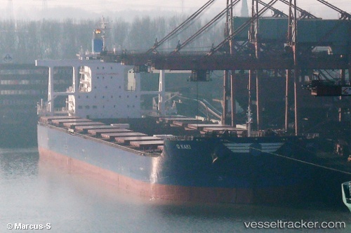
Vessel Golden Kaki IMO: 9701176, MMSI: 538005713 Bulk Carrier
Live AIS position:
UTC. Near Fangcheng),
updated 2025-12-08 07:47:32 UTC.
Find the position of the vessel Golden Kaki on the map. The latter are known coordinates and path.
marine traffic ship tracker show on live map
The current position of vessel Golden Kaki is 21.55068 lat / 108.35188 lng. Updated: 2025-12-08 07:47:32 UTCDetails:
Last coordinates of the vessel:
2025-12-08 07:47:32 UTC, 21.55068, 108.35188, course: 13, speed: 0