 vesseltracker.com
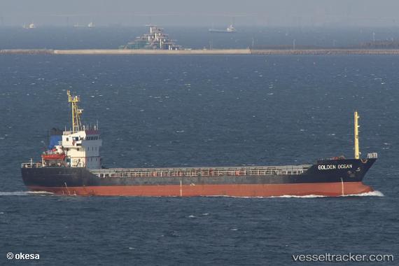
Vessel TAJ IMO: 9298428, MMSI: 630001180 Cargo
UTC, 40.47019, 26.78490, course: -1, speed: 0
UTC, 40.47010, 26.78502, course: -1, speed: 0.1
2026-03-02 00:09:30 UTC, 40.47009, 26.78507, course: -1, speed: 0
Live AIS position:
UTC. Near Gelibolu),
updated 2026-03-02 00:09:30 UTC.
Find the position of the vessel TAJ on the map. The latter are known coordinates and path.
marine traffic ship tracker show on live map
The current position of vessel TAJ is 40.47009 lat / 26.78507 lng. Updated: 2026-03-02 00:09:30 UTCCurrently sailing under the flag of Guinea
Details:
Last coordinates of the vessel:
UTC, 40.47033, 26.78486, course: -1, speed: 0.1UTC, 40.47019, 26.78490, course: -1, speed: 0
UTC, 40.47010, 26.78502, course: -1, speed: 0.1
2026-03-02 00:09:30 UTC, 40.47009, 26.78507, course: -1, speed: 0