 vesseltracker.com
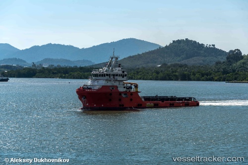
Vessel Grade One Manjung 8 IMO: 9801184, MMSI: 533180216 Offshore Tug Supply Ship
UTC, 4.25667, 100.67667, course: -1, speed: 0
UTC, 4.25667, 100.67667, course: -1, speed: 0
2026-02-02 06:49:45 UTC, 4.25667, 100.67667, course: -1, speed: 0
Live AIS position:
UTC. Near Simpang Lima),
updated 2026-02-02 06:49:45 UTC.
Find the position of the vessel Grade One Manjung 8 on the map. The latter are known coordinates and path.
marine traffic ship tracker show on live map
The current position of vessel Grade One Manjung 8 is 4.25667 lat / 100.67667 lng. Updated: 2026-02-02 06:49:45 UTCDetails:
Last coordinates of the vessel:
UTC, 4.25667, 100.67667, course: -1, speed: 0UTC, 4.25667, 100.67667, course: -1, speed: 0
UTC, 4.25667, 100.67667, course: -1, speed: 0
2026-02-02 06:49:45 UTC, 4.25667, 100.67667, course: -1, speed: 0