 vesseltracker.com
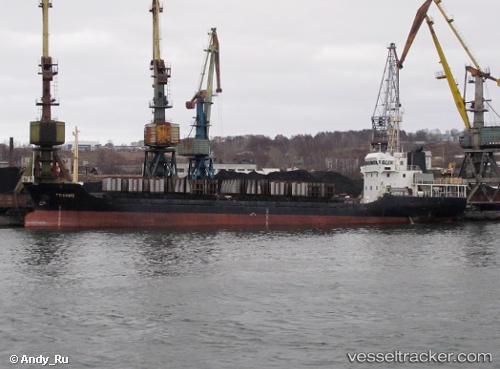
Vessel Granit IMO: 9342554, MMSI: 273353740 General Cargo Ship
UTC, 46.66205, 142.62743, course: 336, speed: 0.7
UTC, 46.66217, 142.62778, course: 295, speed: 0.1
2026-03-01 12:55:55 UTC, 46.66187, 142.62735, course: 341, speed: 0.5
Live AIS position:
UTC. Near ANIVA),
updated 2026-03-01 12:55:55 UTC.
Find the position of the vessel Granit on the map. The latter are known coordinates and path.
marine traffic ship tracker show on live map
The current position of vessel Granit is 46.66187 lat / 142.62735 lng. Updated: 2026-03-01 12:55:55 UTCDetails:
Last coordinates of the vessel:
UTC, 46.66205, 142.62743, course: 336, speed: 0.7UTC, 46.66205, 142.62743, course: 336, speed: 0.7
UTC, 46.66217, 142.62778, course: 295, speed: 0.1
2026-03-01 12:55:55 UTC, 46.66187, 142.62735, course: 341, speed: 0.5