 vesseltracker.com
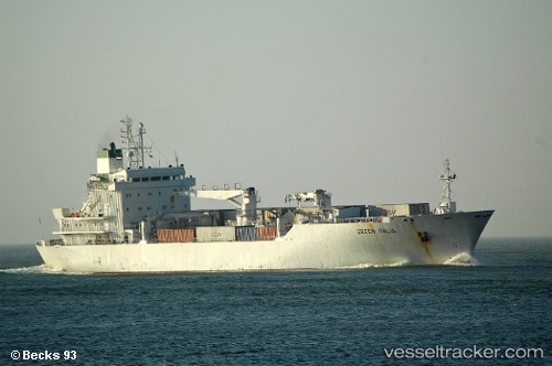
Find the position of the vessel Green Italia on the map. The latter are known coordinates and path.
marine traffic ship tracker show on live map
The current position of vessel Green Italia is 35.58970 lat / 139.77612 lng. Updated: 2025-11-04 10:02:41 UTCCurrently sailing under the flag of Bahamas
Green Italia built in 1994 year
Deadweight:
7721 tDetails:
Last coordinates of the vessel:
UTC, 35.58966, 139.77615, course: 221, speed: 0UTC, 35.58971, 139.77618, course: 221, speed: 0
UTC, 35.58971, 139.77618, course: 221, speed: 0
2025-11-04 10:02:41 UTC, 35.58970, 139.77612, course: 221, speed: 0