 vesseltracker.com
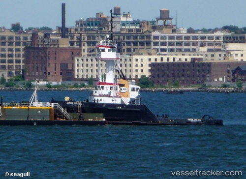
Vessel MONTLAKE IMO: 9032783, MMSI: 368278830 Tug
UTC, 47.57467, -122.34316, course: 181, speed: 0
UTC, 47.57460, -122.34313, course: 181, speed: 0
2026-03-02 15:24:39 UTC, 47.57469, -122.34316, course: -1, speed: 0
Live AIS position:
UTC. Near Interbay),
updated 2026-03-02 15:24:39 UTC.
Find the position of the vessel MONTLAKE on the map. The latter are known coordinates and path.
marine traffic ship tracker show on live map
The current position of vessel MONTLAKE is 47.57469 lat / -122.34316 lng. Updated: 2026-03-02 15:24:39 UTCCurrently sailing under the flag of United States
Details:
Last coordinates of the vessel:
UTC, 47.57333, -122.34167, course: -1, speed: 0UTC, 47.57467, -122.34316, course: 181, speed: 0
UTC, 47.57460, -122.34313, course: 181, speed: 0
2026-03-02 15:24:39 UTC, 47.57469, -122.34316, course: -1, speed: 0