 vesseltracker.com
Find the position of the vessel SEMAR 77 on the map. The latter are known coordinates and path.
marine traffic ship tracker show on live map
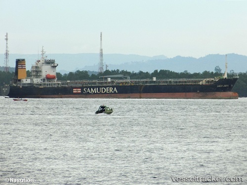
The current position of vessel SEMAR 77 is -1.5051100254058838 lat / 48.89662170410156 lng. Updated: 2025-02-01 16:28:42 UTCCurrently sailing under the flag of Indonesia
SEMAR 77 built in 2001 year
Deadweight:
18050 tDetails:
Last coordinates of the vessel:
2025-02-01 16:28:42 UTC, -1.5051100254058838, 48.89662170410156, course: -1, speed: 14.1