 vesseltracker.com
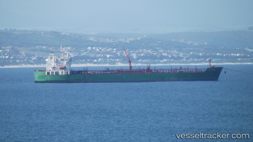
Find the position of the vessel Gulf Baynunah on the map. The latter are known coordinates and path.
marine traffic ship tracker show on live map
The current position of vessel Gulf Baynunah is -19.94702 lat / 35.09465 lng. Updated: 2025-11-05 02:45:59 UTCCurrently sailing under the flag of Bahamas
Gulf Baynunah built in 2008 year
Deadweight:
46522 tDetails:
Last coordinates of the vessel:
UTC, -19.94737, 35.09070, course: 99, speed: 0UTC, -19.94742, 35.09075, course: 96, speed: 0
UTC, -19.94770, 35.09423, course: 320, speed: 0.2
2025-11-05 02:45:59 UTC, -19.94702, 35.09465, course: 271, speed: 0