 vesseltracker.com
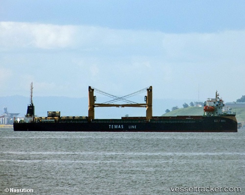
Find the position of the vessel Gulf Mas on the map. The latter are known coordinates and path.
marine traffic ship tracker show on live map
The current position of vessel Gulf Mas is -6.1567983333333 lat / 116.904145 lng. Updated: 2025-11-04 15:41:47 UTCDetails:
Last coordinates of the vessel:
UTC, -6.1934616666667, 116.61965833333, course: -1, speed: 7.6UTC, -6.1795583333333, 116.72025, course: -1, speed: 7.3
UTC, -6.1567983333333, 116.904145, course: -1, speed: 7.7
2025-11-04 15:41:47 UTC, -6.1567983333333, 116.904145, course: -1, speed: 7.7