 vesseltracker.com
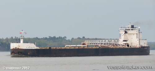
Vessel H Lee White IMO: 7366362, MMSI: 366938770 Self Discharging Bulk Carrier
UTC, 41.90737, -80.79426, course: 0, speed: 0
UTC, 41.90667, -80.79333, course: -1, speed: 0
2026-02-17 02:27:26 UTC, 41.90734, -80.79425, course: 0, speed: 0
Live AIS position:
UTC. Near ASHTABULA),
updated 2026-02-17 02:27:26 UTC.
Find the position of the vessel H Lee White on the map. The latter are known coordinates and path.
marine traffic ship tracker show on live map
The current position of vessel H Lee White is 41.90734 lat / -80.79425 lng. Updated: 2026-02-17 02:27:26 UTCDetails:
Last coordinates of the vessel:
UTC, 41.90736, -80.79425, course: 0, speed: 0UTC, 41.90737, -80.79426, course: 0, speed: 0
UTC, 41.90667, -80.79333, course: -1, speed: 0
2026-02-17 02:27:26 UTC, 41.90734, -80.79425, course: 0, speed: 0