 vesseltracker.com
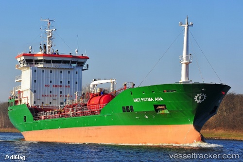
Vessel 215552000 IMO: 9458195, MMSI: 215552000
UTC, 53.5099, 9.95623, course: 238, speed: 0
UTC, 53.5099, 9.95621, course: 238, speed: 0
2026-02-17 12:28:15 UTC, 53.5099, 9.95607, course: 238, speed: 0
Live AIS position:
UTC. Near Altenwerder),
updated 2026-02-17 12:28:15 UTC.
Find the position of the vessel 215552000 on the map. The latter are known coordinates and path.
marine traffic ship tracker show on live map
The current position of vessel 215552000 is 53.5099 lat / 9.95607 lng. Updated: 2026-02-17 12:28:15 UTCDetails:
Last coordinates of the vessel:
UTC, 53.5099, 9.95614, course: 238, speed: 0UTC, 53.5099, 9.95623, course: 238, speed: 0
UTC, 53.5099, 9.95621, course: 238, speed: 0
2026-02-17 12:28:15 UTC, 53.5099, 9.95607, course: 238, speed: 0