 vesseltracker.com
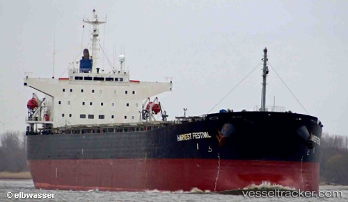
Vessel '354853000' IMO: 9170262, MMSI: 354853000
UTC, 20.52833, 119.66833, course: -1, speed: 11
UTC, 20.29833, 119.65833, course: -1, speed: 11
2026-02-11 20:28:35 UTC, 19.81833, 119.63667, course: -1, speed: 10
Live AIS position:
UTC. 100 nm NW of Bangui),
updated 2026-02-11 20:28:35 UTC.
Find the position of the vessel '354853000' on the map. The latter are known coordinates and path.
marine traffic ship tracker show on live map
The current position of vessel '354853000' is 19.81833 lat / 119.63667 lng. Updated: 2026-02-11 20:28:35 UTCDetails:
Last coordinates of the vessel:
UTC, 21.12667, 119.69500, course: -1, speed: 12UTC, 20.52833, 119.66833, course: -1, speed: 11
UTC, 20.29833, 119.65833, course: -1, speed: 11
2026-02-11 20:28:35 UTC, 19.81833, 119.63667, course: -1, speed: 10