 vesseltracker.com
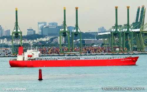
Vessel '419001632' IMO: 9296559, MMSI: 419001632
UTC, 18.01362, 70.65665, course: 141, speed: 11.5
UTC, 17.81833, 70.93500, course: -1, speed: 11
2026-02-11 01:46:30 UTC, 17.54655, 71.33117, course: 120, speed: 10.9
Live AIS position:
UTC. 103 nm SW of Dighi (Pune)),
updated 2026-02-11 01:46:30 UTC.
Find the position of the vessel '419001632' on the map. The latter are known coordinates and path.
marine traffic ship tracker show on live map
The current position of vessel '419001632' is 17.54655 lat / 71.33117 lng. Updated: 2026-02-11 01:46:30 UTCDetails:
Last coordinates of the vessel:
UTC, 18.22426, 70.56225, course: 156, speed: 11.2UTC, 18.01362, 70.65665, course: 141, speed: 11.5
UTC, 17.81833, 70.93500, course: -1, speed: 11
2026-02-11 01:46:30 UTC, 17.54655, 71.33117, course: 120, speed: 10.9