 vesseltracker.com
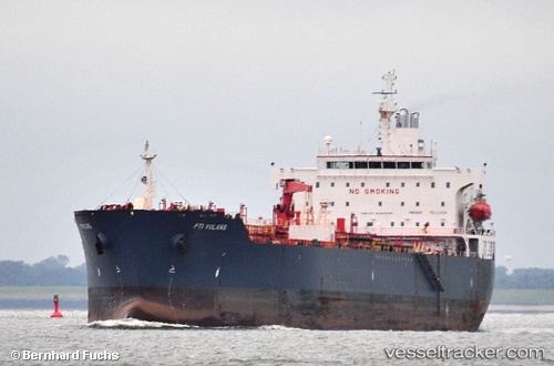
Find the position of the vessel HATAY on the map. The latter are known coordinates and path.
marine traffic ship tracker show on live map
The current position of vessel HATAY is 57.11232 lat / 7.68660 lng. Updated: 2025-11-12 19:27:08 UTCCurrently sailing under the flag of Panama
HATAY built in 0 year
Deadweight:
0 tDetails:
Last coordinates of the vessel:
UTC, 56.72501, 7.03844, course: 25, speed: 11.6UTC, 56.86993, 7.24594, course: 42, speed: 11.7
UTC, 57.03004, 7.52514, course: 41, speed: 12
2025-11-12 19:27:08 UTC, 57.11232, 7.68660, course: 49, speed: 12.1