 vesseltracker.com
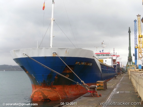
Vessel HENNA T IMO: 9259032, MMSI: 372037000 Cement Carrier
UTC, 10.34928, -61.46388, course: 80, speed: 0
UTC, 10.34935, -61.46392, course: 81, speed: 0
2026-02-01 13:58:12 UTC, 10.34936, -61.46392, course: 81, speed: 0
Live AIS position:
UTC. Near Claxton Bay),
updated 2026-02-01 13:58:12 UTC.
Find the position of the vessel HENNA T on the map. The latter are known coordinates and path.
marine traffic ship tracker show on live map
The current position of vessel HENNA T is 10.34936 lat / -61.46392 lng. Updated: 2026-02-01 13:58:12 UTCCurrently sailing under the flag of Panama
HENNA T built in 2002 year
Deadweight:
5000 tDetails:
Last coordinates of the vessel:
UTC, 10.34933, -61.46390, course: 80, speed: 0UTC, 10.34928, -61.46388, course: 80, speed: 0
UTC, 10.34935, -61.46392, course: 81, speed: 0
2026-02-01 13:58:12 UTC, 10.34936, -61.46392, course: 81, speed: 0