 vesseltracker.com
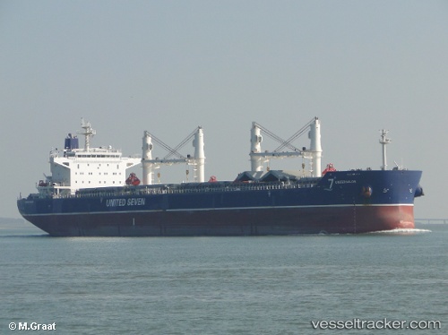
Vessel 636020346 IMO: 9530670, MMSI: 636020346
UTC, 35.89833, -6.31667, course: -1, speed: 11
UTC, 35.89304, -6.03830, course: 90, speed: 11.4
2026-01-31 03:31:41 UTC, 35.92883, -5.53694, course: 64, speed: 12.7
Live AIS position:
UTC. Near TANGER MED),
updated 2026-01-31 03:31:41 UTC.
Find the position of the vessel 636020346 on the map. The latter are known coordinates and path.
marine traffic ship tracker show on live map
The current position of vessel 636020346 is 35.92883 lat / -5.53694 lng. Updated: 2026-01-31 03:31:41 UTCDetails:
Last coordinates of the vessel:
UTC, 35.99220, -6.73537, course: 103, speed: 10.9UTC, 35.89833, -6.31667, course: -1, speed: 11
UTC, 35.89304, -6.03830, course: 90, speed: 11.4
2026-01-31 03:31:41 UTC, 35.92883, -5.53694, course: 64, speed: 12.7