 vesseltracker.com
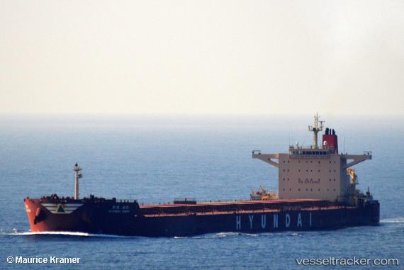
Vessel HL VISION IMO: 9490909, MMSI: 441337000 Bulk Carrier
UTC, 33.99779, 127.13833, course: 290, speed: 10.7
UTC, 34.03351, 127.05541, course: 285, speed: 10.8
2026-02-12 19:30:39 UTC, 34.14096, 126.31552, course: 272, speed: 11.3
Live AIS position:
UTC. 11 nm N of Chuja),
updated 2026-02-12 19:30:39 UTC.
Find the position of the vessel HL VISION on the map. The latter are known coordinates and path.
marine traffic ship tracker show on live map
The current position of vessel HL VISION is 34.14096 lat / 126.31552 lng. Updated: 2026-02-12 19:30:39 UTCCurrently sailing under the flag of Korea (Republic of)
HL VISION built in 2011 year
Deadweight:
179135 tDetails:
Last coordinates of the vessel:
UTC, 33.92662, 127.41900, course: 277, speed: 9.6UTC, 33.99779, 127.13833, course: 290, speed: 10.7
UTC, 34.03351, 127.05541, course: 285, speed: 10.8
2026-02-12 19:30:39 UTC, 34.14096, 126.31552, course: 272, speed: 11.3