 vesseltracker.com
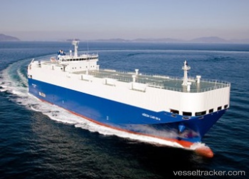
Vessel HOEGH CARIBIA IMO: 9407665, MMSI: 538009725 Vehicles Carrier
UTC, 7.27468, -57.98060, course: 345, speed: 1.7
UTC, 7.13378, -57.93648, course: 134, speed: 5.8
2026-02-11 11:25:40 UTC, 7.06298, -57.92069, course: 158, speed: 3.2
Live AIS position:
UTC. 18 nm N of Enmore),
updated 2026-02-11 11:25:40 UTC.
Find the position of the vessel HOEGH CARIBIA on the map. The latter are known coordinates and path.
marine traffic ship tracker show on live map
The current position of vessel HOEGH CARIBIA is 7.06298 lat / -57.92069 lng. Updated: 2026-02-11 11:25:40 UTCCurrently sailing under the flag of Marshall Islands
HOEGH CARIBIA built in 2010 year
Deadweight:
5493 tDetails:
Last coordinates of the vessel:
UTC, 7.27667, -57.96500, course: -1, speed: 1UTC, 7.27468, -57.98060, course: 345, speed: 1.7
UTC, 7.13378, -57.93648, course: 134, speed: 5.8
2026-02-11 11:25:40 UTC, 7.06298, -57.92069, course: 158, speed: 3.2