 vesseltracker.com
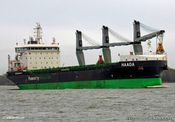
Vessel Haaga IMO: 9797632, MMSI: 230683000 Bulk Carrier
UTC, 64.45269, 21.96168, course: 188, speed: 11.1
UTC, 64.08159, 21.61858, course: 202, speed: 10.9
2026-03-24 02:11:52 UTC, 63.79471, 21.28619, course: 207, speed: 10.1
Live Vessel Haaga Analytics (details, animations, etc.)
Live AIS position: UTC. 20 nm E of Sävar), updated 2026-03-24 02:11:52 UTC.Find the position of the vessel Haaga on the map. The latter are known coordinates and path.
marine traffic ship tracker show on live map
The current position of vessel Haaga is 63.79471 lat / 21.28619 lng. Updated: 2026-03-24 02:11:52 UTCCurrently sailing under the flag of Finland
Details:
Last coordinates of the vessel:
UTC, 64.90658, 22.16298, course: 233, speed: 5.7UTC, 64.45269, 21.96168, course: 188, speed: 11.1
UTC, 64.08159, 21.61858, course: 202, speed: 10.9
2026-03-24 02:11:52 UTC, 63.79471, 21.28619, course: 207, speed: 10.1