 vesseltracker.com
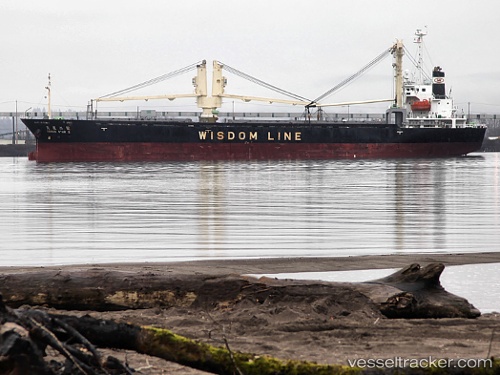
Vessel Hai Duong 36 IMO: 9317042, MMSI: 371168000 General Cargo Ship
UTC, -19.88620, 35.10723, course: -1, speed: 0
UTC, -19.88668, 35.11079, course: -1, speed: 0.1
2026-02-20 19:26:03 UTC, -19.88670, 35.11082, course: -1, speed: 0
Live AIS position:
UTC. 17 nm E of Beira),
updated 2026-02-20 19:26:03 UTC.
Find the position of the vessel Hai Duong 36 on the map. The latter are known coordinates and path.
marine traffic ship tracker show on live map
The current position of vessel Hai Duong 36 is -19.88670 lat / 35.11082 lng. Updated: 2026-02-20 19:26:03 UTCCurrently sailing under the flag of Panama
Hai Duong 36 built in 2005 year
Deadweight:
10650 tDetails:
Last coordinates of the vessel:
UTC, -19.88618, 35.10725, course: -1, speed: 0UTC, -19.88620, 35.10723, course: -1, speed: 0
UTC, -19.88668, 35.11079, course: -1, speed: 0.1
2026-02-20 19:26:03 UTC, -19.88670, 35.11082, course: -1, speed: 0