 vesseltracker.com
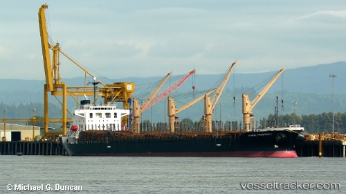
Vessel Hai Nam 87 IMO: 9316969, MMSI: 574004320 Bulk Carrier
UTC, 17.01595, 67.23348, course: 131, speed: 10.2
UTC, 16.73863, 67.56605, course: 134, speed: 9.6
2026-02-20 19:38:13 UTC, 16.60487, 67.71918, course: 137, speed: 10
Live AIS position:
UTC. 298 nm SW of Veraval),
updated 2026-02-20 19:38:13 UTC.
Find the position of the vessel Hai Nam 87 on the map. The latter are known coordinates and path.
marine traffic ship tracker show on live map
The current position of vessel Hai Nam 87 is 16.60487 lat / 67.71918 lng. Updated: 2026-02-20 19:38:13 UTCDetails:
Last coordinates of the vessel:
UTC, 17.30138, 66.92018, course: 137, speed: 10.7UTC, 17.01595, 67.23348, course: 131, speed: 10.2
UTC, 16.73863, 67.56605, course: 134, speed: 9.6
2026-02-20 19:38:13 UTC, 16.60487, 67.71918, course: 137, speed: 10