 vesseltracker.com
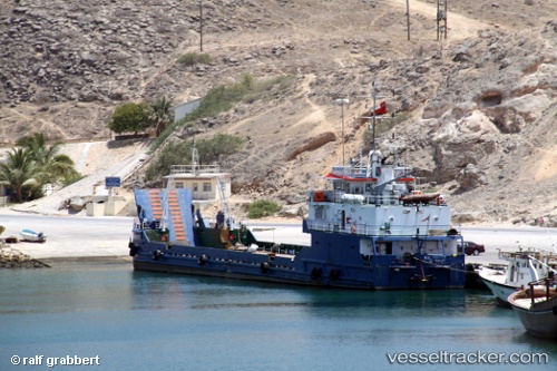
Vessel Halaniyat IMO: 9205433, MMSI: 461000257 Landing Craft
UTC, 17.03152, 54.36334, course: 17, speed: 0
UTC, 17.03149, 54.36333, course: 17, speed: 0
2026-01-30 21:12:48 UTC, 17.03148, 54.36333, course: 16, speed: 0
Live AIS position:
UTC. 20 nm E of Mina Raysut),
updated 2026-01-30 21:12:48 UTC.
Find the position of the vessel Halaniyat on the map. The latter are known coordinates and path.
marine traffic ship tracker show on live map
The current position of vessel Halaniyat is 17.03148 lat / 54.36333 lng. Updated: 2026-01-30 21:12:48 UTCDetails:
Last coordinates of the vessel:
UTC, 17.03148, 54.36333, course: 17, speed: 0UTC, 17.03152, 54.36334, course: 17, speed: 0
UTC, 17.03149, 54.36333, course: 17, speed: 0
2026-01-30 21:12:48 UTC, 17.03148, 54.36333, course: 16, speed: 0