 vesseltracker.com
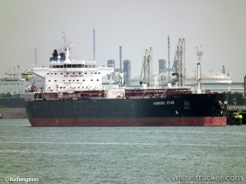
Find the position of the vessel Hamburg Star on the map. The latter are known coordinates and path.
marine traffic ship tracker show on live map
The current position of vessel Hamburg Star is 18.1239 lat / -94.404 lng. Updated: 2025-07-02 20:06:07 UTCCurrently sailing under the flag of Liberia
Hamburg Star built in 2005 year
Deadweight:
73869 tPayload_mass:
73869 tonneGross tonnage:
41966Service entry:
2005-01-01T00:00:00ZDetails:
Last coordinates of the vessel:
UTC, 18.1239, -94.404, course: 181, speed: 0UTC, 18.1239, -94.404, course: 180, speed: 0
UTC, 18.1239, -94.404, course: 180, speed: 0
2025-07-02 20:06:07 UTC, 18.1239, -94.404, course: 180, speed: 0